
Energy Disruptions from Hurricanes, Cyclones, and Typhoons Map
Provided by: EIA|Published on: April 27, 2021|Last updated: July 16, 2026
Grades: 6, 7, 8, 9, 10, 11, 12
Type: Data, Graphs, and Maps
Subjects: Earth and Space Sciences, Geography
Authors: EIA
Location: North America > United States > New Jersey
This resource has been reviewed by SubjectToClimate's climate scientists and verified for scientific accuracy and up-to-date information. Learn about our review process →
This resource has been reviewed by SubjectToClimate's climate scientists and verified for scientific accuracy and up-to-date information. Learn about our review process →
Synopsis
- This interactive map provides real-time and historical information on hurricanes, cyclones, and typhoons, as well as the location of energy infrastructure in the United States and Puerto Rico.
- Students can use the map layers to see how different energy plants and sources could be impacted by extreme weather events.
Teaching Materials
Positives
- Students can search for and zoom in on a specific neighborhood.
- Students can save and download maps by clicking on the icon in the bottom left-hand corner of the screen.
Prerequisites
- Certain layers cause the map to lag at times.
- Layers can be manipulated using the double arrow icon and the layers icon, both of which are located at the top right-hand corner of the screen.
Differentiation & Implementation
- Science and social studies classes can create maps using the "Historical Hurricanes" and "Pipelines and Transmission" layers and see where local power lines and hurricane tracks have crossed paths. Students can brainstorm solutions for making energy infrastructure less susceptible to extreme weather.
- Science classes can task students with developing a visual diagram to show the connection between fossil fuel energy and extreme weather that causes power outages.
- Other resources on this topic include this video on the devastating effects of Hurricane Maria in Puerto Rico, this video on climate change and more severe hurricanes, and this video on why climate change makes extreme weather worse.
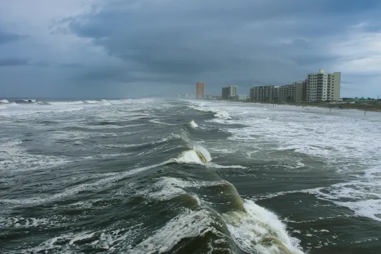
This map is a real-time look at where hurricanes, cyclones, and typhoons currently are and the potential for disrupting energy. This resource is recommended for teaching.
Teaching Tips
Standards
Resource Type and Format
Scientist Reviewed
This resource has been reviewed by SubjectToClimate's climate scientists and verified for scientific accuracy and up-to-date information. Our review process ensures that every resource in our library reflects the current state of climate science.
Learn about our review process →