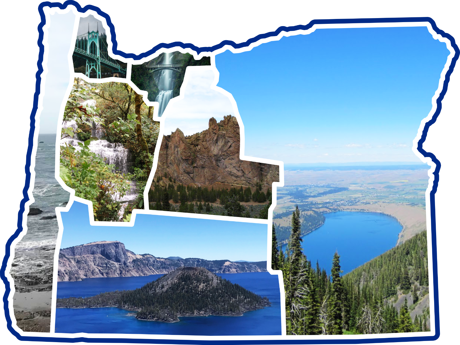

Warming Stripes (State)
Provided by: Climate Central|Published on: June 26, 2026|Last updated: July 16, 2026
Grades: 6, 7, 8, 9, 10, 11, 12
Type: Data, Graphs, and Maps
Subjects: Earth and Space Sciences
Authors: Climate Central
Location: North America, North America > United States
This resource has been reviewed by SubjectToClimate's climate scientists and verified for scientific accuracy and up-to-date information. Learn about our review process →

This resource has been reviewed by SubjectToClimate's climate scientists and verified for scientific accuracy and up-to-date information. Learn about our review process →
Synopsis
- This collection of graphics displays long-term temperature trends for each state using a color gradient.
- Each colored stripe represents one year, with blue indicating a year cooler than average, and red indicating a year warmer than average.
Teaching Materials
Positives
- Students can easily visualize warming temperatures using these simple and engaging graphics.
- Images can be downloaded for offline use.
Prerequisites
- The entire site is available in Spanish by clicking the ES button on the right side of the page.
- The images are based on the original warming stripes graphics by Ed Hawkins.
- This data uses the 20th-century average as the standard reference for the temperature anomalies.
Differentiation & Implementation
- These graphics can be used in science classes to visualize the warming trends of a state and compare trends between states.
- Elementary science teachers could use these images to introduce the idea of warming temperatures in their state. The images are colorful and easy to understand, which will make them great resources for younger ages.
- Cross-curricular connections can be made with art or design classes by challenging students to come up with their own compelling visuals that display climate data.
- Warming Stripes are some of the most common climate data visualizations and have been used around the world to raise awareness of global temperature increases. Students can discuss why these images are so effective and compelling. Additionally, students can research how these graphics became popular and the different ways they have been used.
- Other similar resources include this interactive U.S. map displaying daily temperature anomalies, NASA's temperature tracker, and this math lesson plan where students assess temperature trends for their city.
This resource depicts extremely hot periods in US states from 1895-2024, smoothened using records of average temperature anomalies from 1901-2000. The stripes are an effective tool to create awareness of the implications of rising average temperatures and the urgent need to address climate change. This resource is recommended for teaching.
Teaching Tips
Standards
Resource Type and Format
Scientist Reviewed
This resource has been reviewed by SubjectToClimate's climate scientists and verified for scientific accuracy and up-to-date information. Our review process ensures that every resource in our library reflects the current state of climate science.
Learn about our review process →