Deforestation Analysis with Earth Systems View Using Landsat

This resource has been reviewed by SubjectToClimate's climate scientists and verified for scientific accuracy and up-to-date information. Learn about our review process →
Provided by: My NASA Data|Published on: April 27, 2021
Lesson PlansScientist Reviewed
345678
Scientist Reviewed This resource has been reviewed by SubjectToClimate's climate scientists and verified for scientific accuracy and up-to-date information. Learn about our review process →
Synopsis
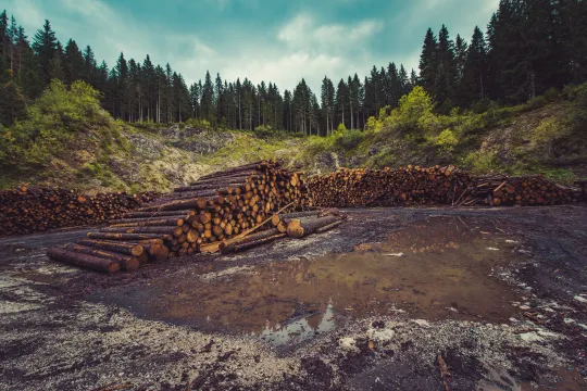
- In this lesson plan, students analyze imagery taken from NASA's Landsat satellite, a time-lapse video of deforestation, and a global land cover map to identify the different causes of deforestation.
Subjects: Earth and Space Sciences
Authors: My NASA Data
Region: Global
Languages: English
Teaching Materials
Positives
- Students will use evidence from recorded data imagery to represent and discuss the factors contributing to deforestation and the role that humans play in global deforestation rates.
- All materials are included and accessible in multiple formats.
Additional Prerequisites
- Students should be familiar with the terms biosphere, atmosphere, land cover, and deforestation.
Differentiation
- Students can complete this activity individually or in groups.
- If students have access to devices, they can complete the graphic organizer digitally in Google Slides. There is also a PDF version for printing.
- Students can further explore the root causes of deforestation related to human activity and brainstorm solutions at various levels (individual, community, state, national, and global).
- Students can respond to the videos in a written response or group discussion.
- For further exploration, check out the nifty Global Forest Watch Interactive Map.
The Google Slides interactive card resource is valid and will guide students to interpret Landsat imageries. The resource is valid and recommended to understand the rate of deforestation in Brazil up to 2019. Educators should note that this resource will not be sufficient to explore present changes in Brazil's forests.
Teaching Tips
Standards
Resource Type and Format
About the Partner Provider

My NASA Data
NASA offers petabytes of global Earth science data collected from satellites, but accessing these data in a traditional (or virtual) science classroom can be tricky. Since 2004, My NASA Data has supported students and teachers of grades 3-12 in analyzing and interpreting NASA mission data.
Scientist Reviewed
This resource has been reviewed by SubjectToClimate's climate scientists and verified for scientific accuracy and up-to-date information. Our review process ensures that every resource in our library reflects the current state of climate science.
Learn about our review process →